
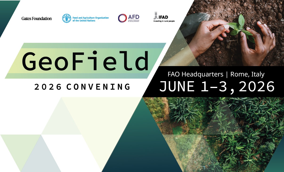
GeoField 2026 Convening
June 1-3, 2026 | FAO Headquarters in Rome, Italy
The GeoField Convening will bring together approximately 125 people for a hybrid event to share recent progress on the integration of Earth observation into agricultural and climate-related impact evaluations. Participants will span disciplines and organizations, including evaluation experts, remote sensing specialists, and agricultural programming organizations. We will present use cases from our GeoField initiative as well as papers from the upcoming special issue in the Journal of Development Economics, as well as chapters of the forthcoming open-source textbook, Geospatial Impact Evaluation in Practice. Additional sessions will focus on relevant topics such as AI, deforestation monitoring, and the specific opportunities and challenges for organizations such as FAO, IFAD, AFD, and the Gates Foundation.
Organizers: The event will be hosted by FAO and AidData. Additional sponsors for the event include IFAD, AFD, and the Gates Foundation.
Joining Virtually
This is a hybrid event. Virtual attendees can join via Zoom using the links below. Please use the link for the room your session is in -- each room has its own unique link.
Day 1 — Monday, June 1 | Red Room https://fao.zoom.us/webinar/register/WN_WW8sn684S9uRgMF0UEhsYA
Password: 68119344
Days 2 & 3 — June 2-3 | Ethiopia Room https://fao.zoom.us/meeting/register/rD_GTs3fQJiEa3hu_xECaw
Password: 66716617
Days 2 & 3 — June 2-3 | Philippines Room https://fao.zoom.us/meeting/register/p6Ys1ysgRZ-lQfGVG3ZFGQ
Password: 71664799
Day 1 Agenda — Monday, June 1, 2026
9:15-10:00am Continental Breakfast
10:00-11:00am Session 1: Plenary Welcome+ Keynote David Laborde, Karen Macours, Ariel BenYishay
11:00-11:30am Break
11:30-12:45pm Session 2: GeoField UseCase Presentations Niger Rainwater Harvesting | Niger FMNR | Somalia Irrigation
12:45-2:15pm Lunch (Provided)
2:15-3:30pm Session 3: GeoField UseCase Presentations Bangladesh AWD | India Leaf ColorCharts | Nigeria Crop Insurance
3:30-4:00pm Break
4:00-5:15pm Session 4: GeoField UseCase Presentations Nepal Sugarcane | Bangladesh Stress-Tolerant Rice | Ethiopia Sweet Potatoes
Day 2 Agenda — Tuesday, June 2, 2026
8:30-9:00am Continental Breakfast(Provided)
9:00-10:15am Sessions 5a/5b: Journal of Development Economics Special Issue (Parallel) 5a: War damage, ag technology & deforestation, land acquisitions, irrigation infrastructure 5b: Gas flaring, landmine clearance, insurance zones, mines & agriculture
10:15-10:45am Break
10:45-12:00pm Sessions 6a/6b: GIE in Practice Chapters (Parallel) 6a Causal Methods: Causal inference, spatial DiD, RCTs 6b Geospatial Practices: EO data uses, geospatial analytics, foundation models
12:00-1:30pm Lunch (Provided)
1:30-2:45pm Sessions 7a/7b (Parallel) 7a Hands-On: Offsetting forest loss from infrastructure (bring laptop) 7b: IATI location standards, EO-socioeconomic data integration, ethical considerations
2:45-3:15pm Break
3:15-4:45pm Sessions 8a/8b (Parallel) 8a Hands-On: Rainwater harvesting impacts in arid landscapes (bring laptop) 8bCase Studies: Ag intensification DiD, forest loss in Ghana, typhoon economic impacts
5:00-7:00pm Evening Networking Reception Rooftop Terrace, FAO Headquarters
Day 3 Agenda — Wednesday, June 3, 2026
8:30-9:00am Continental Breakfast(Provided)
9:00-10:15am Sessions 9a/9b (Parallel) 9a FAO: EO for monitoring & impact evaluation -- land restoration, flood monitoring, Benin, Bolivia 9b AFD/KfW: Practitioner-led MOOC on geospatial IE for decision-makers
10:15-10:45am Break
10:45-12:00pm Sessions 10a/10b (Parallel) 10a IFAD: EO for long-term IE -- rangelands, irrigation, long-term evaluation feedback 10b Conservation IE: Connectivity indicators, Madagascar spatial data, coastal Haiti, land investments
12:00-1:30pm Lunch (Provided)
1:30-2:45pm Sessions 11a/11b: Regional Sessions (Parallel) 11a Focus on Africa 11b Focus on South Asia
2:45-3:15pm Break
3:15-4:45pm Sessions 12a/12b (Parallel) 12a Deforestation: Global land cover monitoring, digital public infrastructure, EU Deforestation Regulation 12b Open Invitation: Ag intensification in Mali, weather data specification, India biodiversity landscapes, Sen4CAP in Senegal& Zimbabwe